Community planning area- Redlands
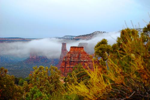
The Redlands Planning area is located south and west of the Colorado River from the Highway 340 Colorado River Bridge at Fruita on the Northwest , the Colorado National Monument on the south and the Gunnison River on the east. The plan will help achieve community goals by providing specific policies and implementation strategies.