Community planning area- Mack
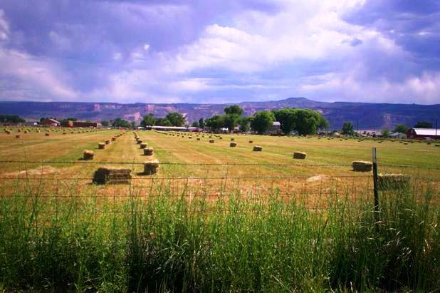
The Mack Community Plan Area containing 3,239 acres, or about 5 square miles, is located between Ruby Canyon Estates and Salt Creek (the 8 ¼ Road alignment) on the west and the 11 ½ Road alignment on the east. The southern boundary follows I-70 and includes the State lands adjacent to and northeast of I-70. On the north, the boundary approximately follows P Road and goes to the O ½ Road alignment on the southeast end. Within the Plan area is a subarea referred to as the Mack Rural Community; the community core contains about 647 acres.