New 2022 Aerial Imagery Available
July 25, 2022
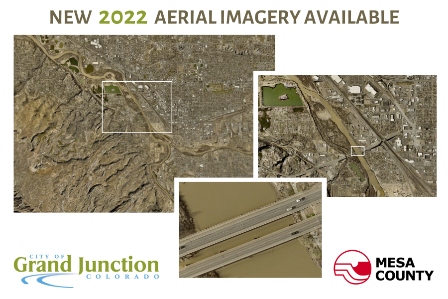
Mesa County and the City of Grand Junction have released new air photos for 2022. The imagery, captured in April 2022, covers the Grand Valley from Mack to Whitewater, the I-70 corridor through to De Beque, and areas around the towns of Mesa and Collbran.
Central areas in Grand Junction have a 3 inch resolution, and the rest of the imagery is at a 6 inch resolution.
Use the map viewer to view the latest and historic imagery. You can also download additional maps and data.
GIS
News
Announcements, Information, Public Notice
Media Inquiries, contact:
IT Help Desk
Information Technology
Technical Support
970-683-4200